
Genevieve became the first Category 5 hurricane of 2026, before quickly weakening. Here’s why it got so strong so quickly

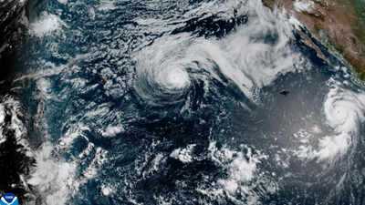
Hurricanes are among the most powerful forces in nature, but they can also be surprisingly unpredictable. One moment a storm is racing into a monster cyclone the next it starts to run out of steam. And that is exactly what happened with Hurricane Genevieve which became the first Category 5 hurricane of the 2026 Eastern Pacific hurricane season for a few hours before weakening just hours later. The storm never posed a direct threat to land, but its rapid strengthening and weakening has caught the eye of meteorologists who study how tropical cyclones develop over warm oceans. Here’s what fueled Genevieve’s rapid intensification and why it didn’t stay at Category 5 for long.
Genevieve reaches Category 5 Intensity
According to a report by AP News, Genevieve briefly strengthened into a Category 5 storm early Monday with maximum sustained winds of 160 mph (260 km/h), the U.S. National Hurricane Center (NHC) said. It was the first Category 5 hurricane to develop in the Eastern Pacific in two years. The same report further stated that hours later the storm weakened a bit, with sustained winds dropping to about 145 mph (230 km/h), putting it back in the Category 4 range on the Saffir-Simpson Hurricane Wind Scale.
Why was Genevieve escalating rapidly?
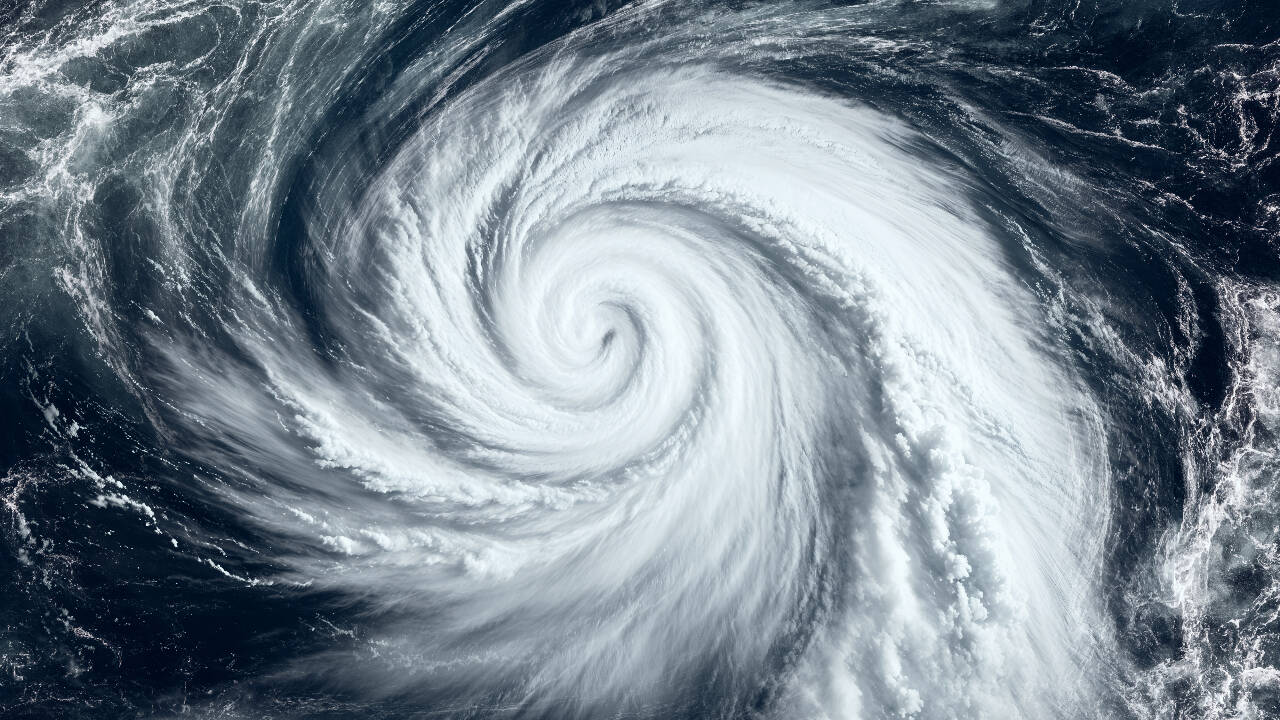
Category 5 hurricane storm came with maximum sustained winds of 160 mph (260 km/h)
If meteorologists are to be believed, they feel that a combination of favorable atmospheric and ocean conditions helped Genevieve quickly intensify. According to experts, tropical cyclones are powered by warm ocean waters. It has been found that the warm temperatures of the sea surface in the Eastern Pacific Ocean is provided by the heat and moisture necessary to energize the powerful thunderstorms that fed the storm. The warm water acts like a fuel, allowing vast quantities of water vapor to rise up into the atmosphere. And when this moisture condenses into clouds it releases heat which further strengthens the hurricane.
What else impacted it?
The experts feel that another key ingredient that impacted the hurricane was low vertical wind shear, the change in wind speed or direction with height in the atmosphere. A mature hurricane can be destroyed when exposed to strong wind shear which destroys its circulation. In Genevieve’s case, relatively calm upper level winds allowed the core of the storm to remain organized allowing for rapid intensification.
How did it die so quickly?
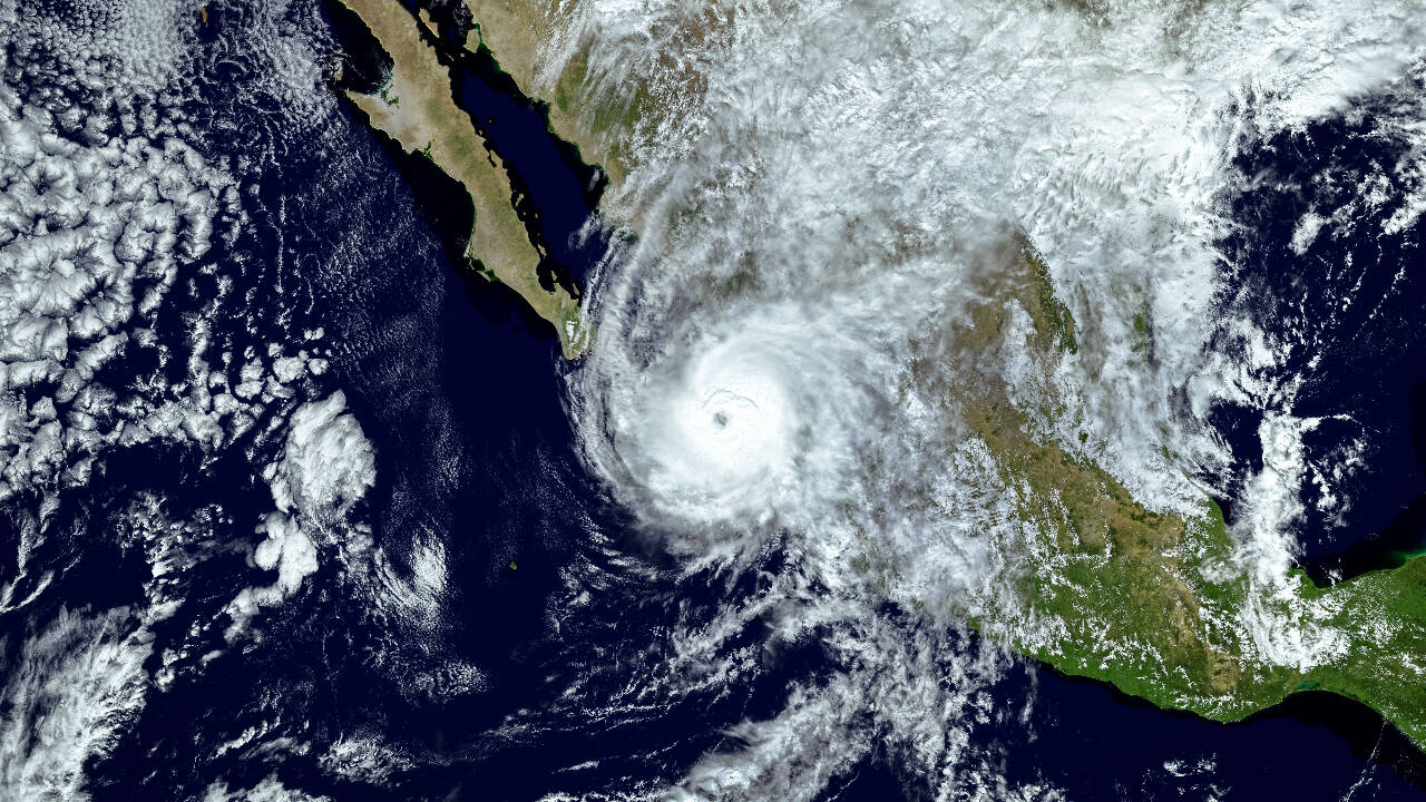
How tropical cyclones are powered by warm ocean waters
Genevieve strengthened rapidly, but hurricanes are complex systems that are always interacting with their environment. Forecasters expected the intensity to fluctuate as the storm moved over slightly cooler waters and into changing atmospheric conditions. Even slight changes in wind shear or heat in the ocean can disrupt the cycle that builds a hurricane’s strength. Thus, Genevieve weakened from a Category 5 hurricane to a Category 4 hurricane, but Genevieve was still a major hurricane and could create dangerous ocean conditions. Genevieve’s rapid strengthening to Category 5 illustrates how quickly tropical cyclones can intensify when conditions such as ocean temperatures, moisture and wind are favorable for strengthening. And just as quickly, subtle shifts in the environment can diminish even the most powerful storms.Images Courtesy: istock and NOAA via AP


